Ponta de São Lourenço
The bare volcanic peninsula at the eastern tip of Madeira

Overview
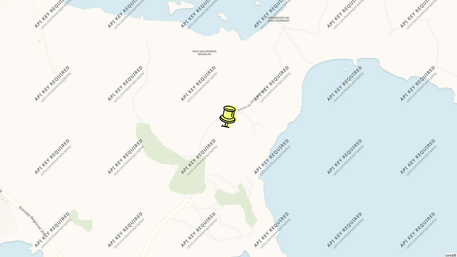
Ponta de São Lourenço is the eastern tip of Madeira, a bare peninsula of red, ochre and black volcanic rock that runs out into the sea from Caniçal towards the islets of Cevada and Farol, treeless and wind-scoured, the one part of the island that looks like a desert; it has been a nature reserve since 1982 for its endemic plants, its seabird colonies and the monk seals that haul out on its coves, and the walk to its end is the most popular on the island after the levadas.
The marked path from the road end takes about an hour each way to the Pico do Furado and the viewpoint over the last islet and its lighthouse, with Porto Santo to the north-east and the Desertas to the south-east; there is a café at the Sardinha house at the far end and nothing else, no shade and no water.
History
The peninsula is the youngest part of the island’s eastern volcanic complex, pyroclastic layers cut by basalt dykes and eroded into cliffs and sea arches, about 100,000 years old; the islets at its end, the Ilhéu da Cevada and the Ilhéu do Farol with its lighthouse, hold the largest yellow-legged gull colony on Madeira and are an Important Bird Area for their seabirds. Matthiola maderensis, Echium nervosum and Andryala glandulosa are among the endemic plants that survive on its slopes; the Mediterranean monk seal, the rarest seal in the world, breeds on the Desertas across the water and visits the peninsula’s coves.
Visiting
The road from Caniçal ends at the Baía d’Abra car park; the path drops and climbs over the spine of the peninsula with the north coast’s cliffs on one hand and the calmer south on the other, past viewpoints over sea arches and the coloured strata, to the Casa do Sardinha, a former estate house now a ranger post and café among a few trees, and on up the Pico do Furado for the view over the Farol islet. The lighthouse islet itself is not accessible.
The Prainha, a small cove of dark sand off the road before the car park, is the swim; the New Port of Madeira at Caniçal, the cargo terminal, lies to the west, and the whale museum in the village tells the story of the island’s whaling, which ended here in 1981.
Tips
- Wind and sun: a hat that ties on, water, and an early start; the path is fully exposed and the rock radiates heat by noon.
- The path is rough and has drops; the stretch beyond the Sardinha house to the summit is the steep part and the reason for shoes.
- SAM buses from Funchal to Caniçal run near the road end; the last few kilometres are a walk or a taxi from the village.
- Boat trips from Machico and Caniçal see the peninsula’s arches and caves from the water, and in summer the seals.
Nearby
- Caniçal and the whale museum: 5 km.
- Prainha beach: on the road to the car park.
- Machico: 10 km.
- Madeira airport: 15 km.
Know this destination? Help us improve
Your local experience is valuable to other travelers.