Fortaleza de Sagres
Henry the Navigator's fortress on the promontory

Essential info
Visit details
Overview
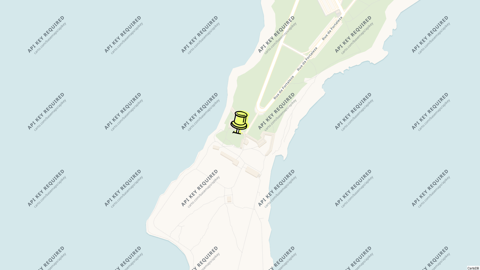
The Fortress of Sagres is the wall that Henry the Navigator built across the neck of the Sagres promontory in the 15th century, a limestone plateau a kilometre long and 40 m above the sea east of Cape St Vincent, where the prince’s Vila do Infante stood and where, by tradition, the navigators of the Discoveries were trained. The 1755 earthquake wrecked it, the 18th century rebuilt the front, and in 2018 it was the most visited monument in the Algarve, with almost half a million people.
Inside the walls are the church of Nossa Senhora da Graça, the prince’s cistern, the ruins of the governor’s house and the giant compass rose set in the ground, and beyond them the open promontory with a 2 km walkway round the cliffs, fishermen on the edges and the Cape St Vincent lighthouse across the bay.
History
The promontory was the Sacred Promontory of Ephorus and Pliny, a place of Neolithic settlement at Cabranosa and Roman worship, and the reputed burial place of St Vincent; al-Idrisi’s Temple of the Raven stood here or at the cape until the relics went to Lisbon in the 12th century. Henry came to the Algarve in 1438 after his defeat at Tangier, made Lagos his base and built his Vila do Infante on the promontory, with a wall closing its only landward approach; the church of St Mary, now Nossa Senhora da Graça, and the cistern are its survivors.
The fortification became a Renaissance-Mannerist enceinte with six batteries facing the sea and a turreted cavalier over the gate; the earthquake of 1755 brought it down and the late 18th century rebuilt it in its present form, restored in the 1960s, the 1990s and 2010. It was made a National Monument in 1910 and in 2017 was inscribed with other sites of the “first globalisation”.
Visiting
The neoclassical gate leads through a tunnel under the cavalier into the turfed place of arms, where the wind hits. The compass rose is straight ahead: a circle of unequal stones radiating in 32 directions, found in the 17th century and thought to be a sundial or wind rose, and possibly linked to a round hermitage of St Mary the Infante built in his town. The church of Nossa Senhora da Graça, a single barrel-vaulted nave with a domed chancel and tombstones in the floor, holds the statues of St Vincent and St Francis Xavier brought from the cape.
Beyond the buildings the promontory is open ground with paths and panels on the monument, the plants and the birds, and a 2 km level walkway round the cliff edge for the views of the cape, the surf beaches and the fishermen perched on the rock; the exhibition rooms and the auditorium are in the restored buildings by the gate.
Tips
- The wind is constant; hats and loose paper do not survive the place of arms.
- Come in the afternoon for the light on the Cape St Vincent cliffs across the bay, and stay for the sunset from the cape itself.
- Sagres village has the surf schools, the fish restaurants on the harbour and the buses from Lagos; the fortress is a 15-minute walk from the centre.
- The Vicentine Coast park begins here; Beliche and Tonel beaches are within 3 km.
Nearby
- Cape St Vincent: 6 km west.
- Sagres harbour and the Baleeira beach: 1 km.
- Praia do Tonel: below the fortress on the west.
- Lagos: 33 km east.
Know this destination? Help us improve
Your local experience is valuable to other travelers.