Lagoa do Fogo
The highest crater lake on São Miguel, no buildings allowed

Overview
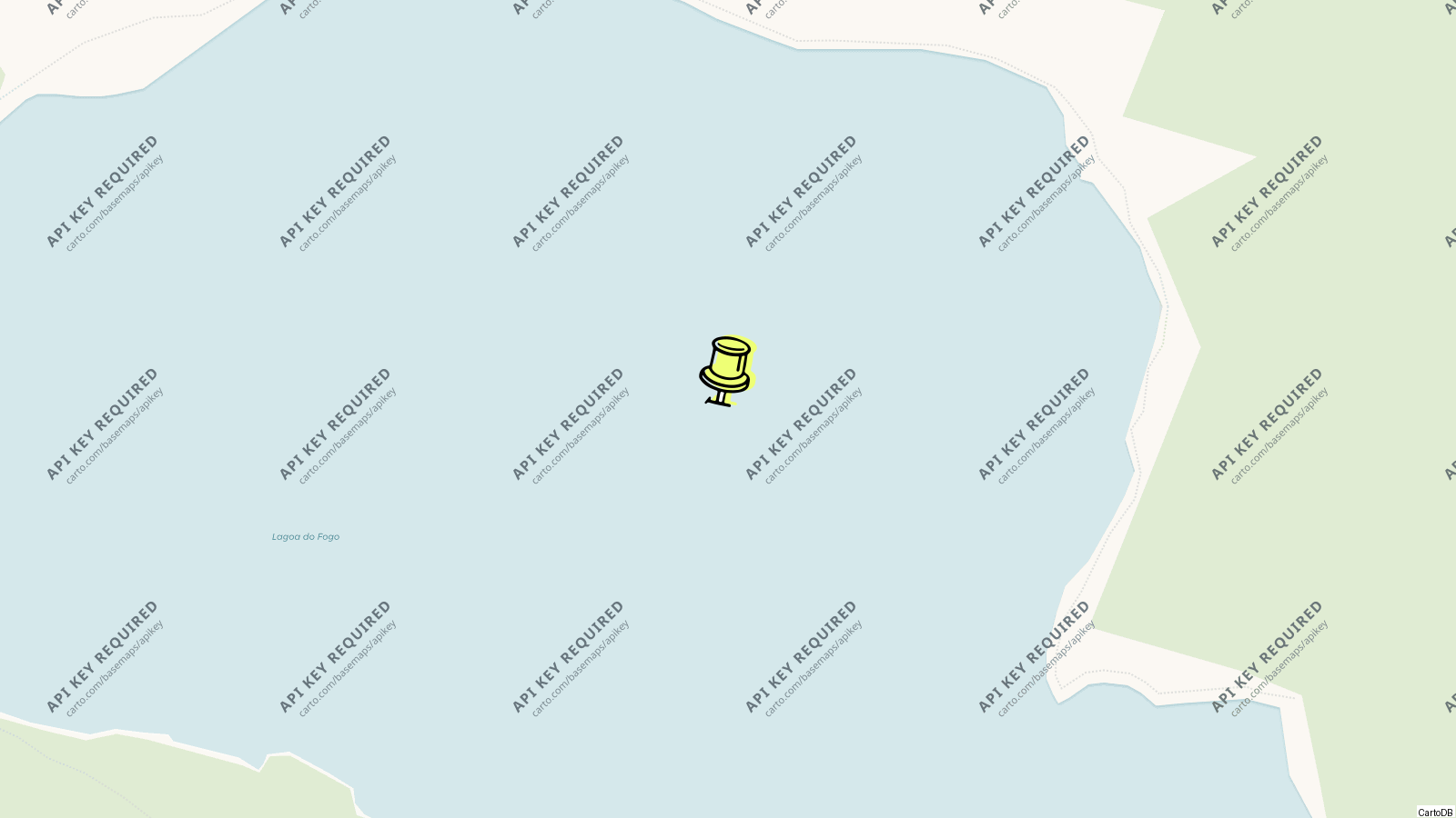
Lagoa do Fogo, the Lake of Fire, is the crater lake in the centre of São Miguel, the highest on the island at 575 m, filling the caldera of the Água de Pau volcano below a rim that rises to 949 m at Pico da Barrosa; a nature reserve since 1974 with no building allowed anywhere around it, it is the wildest of the island’s lakes, an ellipse 3 km by 2.5 km and 30 m deep with a beach of pale sand at its northern end.
The road over the pass between Ribeira Grande and Lagoa passes the viewpoint on the rim, and a path drops to the beach; the caldera is a Natura 2000 site of endemic juniper, laurel and heather, with buzzards overhead and, most days, cloud coming and going across the water.
History
The Água de Pau massif is the youngest volcano on São Miguel, its caldera formed about 15,000 years ago and collapsing to its present shape about 5,000 years ago; its last eruption was in 1563. The reserve was created by decree in 1974 and re-founded under regional law in 1982 over about 2,182 hectares, included in Natura 2000 in 2001 and folded into the island’s nature park in 2008 with the whole watershed of the lake, which feeds the aquifers and the drinking water of the villages on the southern slopes.
The walls are cliffs of 48 degrees; the streams into the lake are mostly torrents that run in winter and dry in summer, only two flowing all year, and the erosion they cause builds the sediment beach on the northern shore.
Visiting
The Miradouro da Lagoa do Fogo on the crest road is the view most people take, straight down into the caldera with the lake filling it and the sea on both sides of the island beyond; the Pico da Barrosa viewpoint a little higher adds the whole central spine. From the lay-by below the rim on the Ribeira Grande side a path descends the crater wall to the lake, steep and eroded, half an hour down and longer back, to the beach where the water is cold and swimming is tolerated but not encouraged.
The Praia trail along the southern flanks and the walk from the Caldeira Velha hot springs on the north side, where thermal pools sit in a fern-filled ravine, are the longer approaches. The vegetation changes from scrub on the west and south walls to forest on the gentler east and north.
Tips
- The lake is under cloud more often than not; if the webcams or the sky over Ribeira Grande are clear, go now, not after lunch.
- Take nothing down that cannot come back up; there are no bins, no water, no shade and the reserve’s rules are enforced.
- The pass road is narrow and the viewpoint lay-bys small; coaches arrive from mid-morning.
- Caldeira Velha, 10 minutes down the northern side, has hot pools under a waterfall and is the place to warm up after the lake.
Nearby
- Caldeira Velha thermal pools: on the Ribeira Grande road.
- Ribeira Grande: 15 km north.
- Vila Franca do Campo and its islet: 15 km south.
- Furnas: 25 km east.
Know this destination? Help us improve
Your local experience is valuable to other travelers.