Castle of Almourol
Templar castle on an islet in the Tagus, reached by boat

Essential info
Visit details
Overview
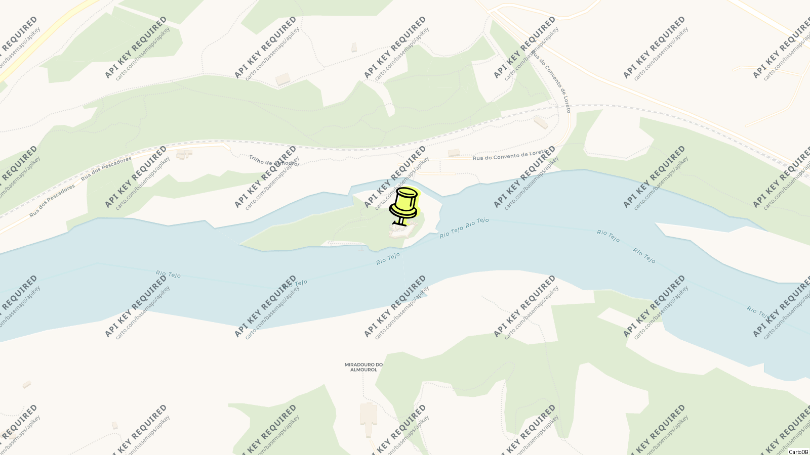
The Castle of Almourol is the Templar fortress on a granite islet in the middle of the Tagus, 4 km from Vila Nova da Barquinha and opposite the town of Tancos, and the most photographed castle in the country for the simple reason that it stands in a river. Rebuilt by Gualdim Pais, master of the Templars, from 1171 on a site the Romans and their successors had fortified, it was part of the order’s defensive line along the Tagus with Tomar.
Access to the islet is free but you can only reach it by a short paid boat ride from the bank; the castle is small, a keep and two rings of wall with nine round towers, and the visit is half an hour on the walls with the river all round.
History
Excavations have found Roman coins, milestones and foundations inside the enclosure, and the site is thought to be a Lusitanian castro taken by Rome in the 1st century BC and reworked by Alans, Visigoths and Arabs. Christian forces took it in 1129, when it was called Almorolan, and gave it to Gualdim Pais, whose rebuilding is dated by the inscription over the main gate to 1171; the keep, a Templar innovation in Portugal after Tomar’s, and the round watchtowers are the order’s work.
Stripped of purpose once the frontier moved south, it fell into ruin, was rediscovered by the Romantics in the 19th century and was heavily restored from 1939, when the monuments service rebuilt the wall-walk in masonry and concrete, reconstructed a corner of the keep and added crenellations and bartizans; in the 1940s and 1950s rooms were fitted out to make it an official residence of the Republic, with furniture bought in 1955 and electricity installed. Further consolidation ran to 1996, and by 2004 water infiltration was damaging the walls again.
Visiting
The islet is about 310 m long and 75 m wide and the castle sits on an outcrop 18 m high at its centre, just below the confluence of the Zêzere with the Tagus. The boat from the quay on the north bank drops you at the landing, from which a path skirts the islet to the southern end of the castle.
The plan is an irregular rectangle in two enclosures: a lower outer ward facing upstream, with a traitor’s gate and walls stiffened by nine round towers, and the higher inner ward reached through the main gate under Gualdim Pais’s inscription, with the three-storey keep, still holding the corbels of its original beams, and a cross carved above an open window recording its Christian re-foundation. Masonry doorways link the parts. Walk the wall-walk, climb the keep and look at the river; that is the visit.
Tips
- The boat is the only way over and runs to a seasonal timetable; check the hours in Vila Nova da Barquinha before driving out, especially in winter.
- The castle is unroofed and unshaded; the islet is best in the late afternoon when the sun is behind the west bank.
- Combine it with Tomar, 20 minutes north, and Constância at the Zêzere confluence.
- There is nothing to buy or eat on the islet; the riverside park at Vila Nova da Barquinha has the cafés.
Nearby
- Tomar and the Convent of Christ: 20 km north.
- Constância at the confluence: 5 km east.
- Vila Nova da Barquinha: 4 km.
- Entroncamento, the railway junction: 10 km.
Know this destination? Help us improve
Your local experience is valuable to other travelers.