Rubena
Just 13 km from Burgos, Rubena has fewer people than a city café on Sunday and fields that flatten out at 910 meters above sea level.

Visit details
Overview
Rubena sits 13 km from Burgos, sized at 9.77 km², with a population of 202, about as many people as you’ll see on a slow Sunday at a single café terrace in the city. Most arrive via the A-1 motorway exit 249–252, watching the fields level out at 910 meters elevation. The town’s name comes from the river Vena, which quietly cuts through the territory and occasionally floods more than you might expect for its size.
Most of what you’ll find here revolves around the Camino de Santiago. Rubena is on the Camino Francés route, officially listed in the UNESCO inventory for the historic pilgrimage roads. If you’re not walking with a scallop shell around your neck, you’ll notice the trickle of pilgrims crossing through, usually landing in Rubena by mid-morning for a stamp or picnic break before moving on.
The municipal core is small: a single main street and a scattering of houses, with the old church, Santa Eulalia, mentioned already in 921, rising a little above it all. The stone cross in the square is from 1556, with enough weathering to look twice its age. The landscape here is agricultural, and Rubena doesn’t stray far from its roots. Local services, bar, bakery, town hall, are for locals first, but walkers on the Camino get a nod.
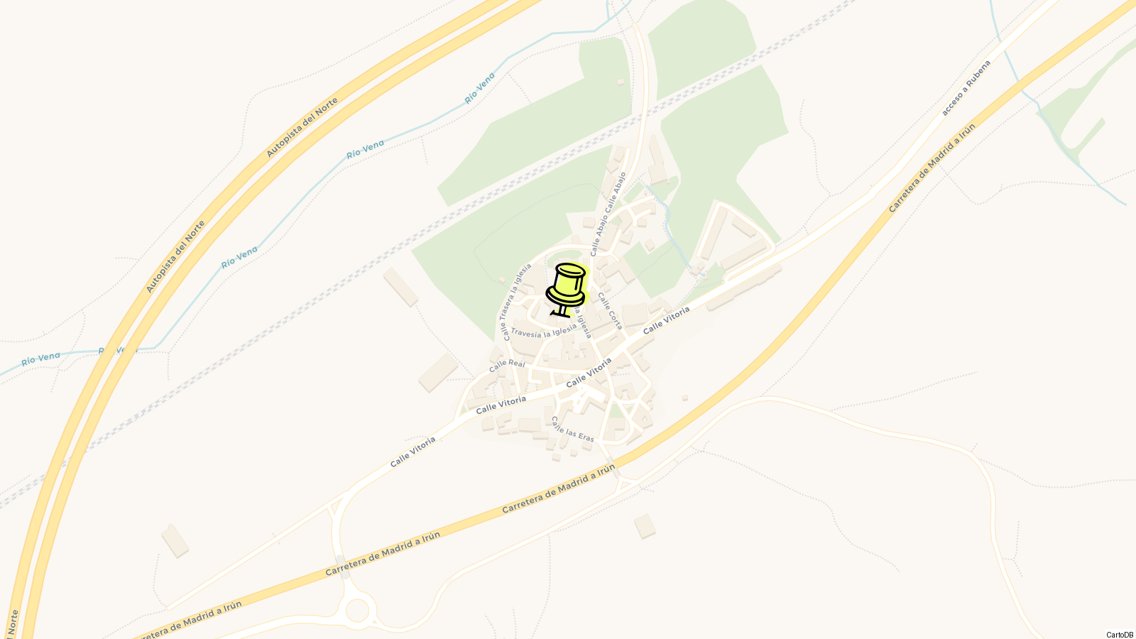
Despite being close to Burgos, you won’t find city convenience. There’s a mobile library (bibliobús línea 6) that stops by, more a lifeline than a quirk, and civil paperwork gets done at the Peace Court on Calle Victoria 41.
If you want anything resembling culture, it’ll be in the Casa de la Salud y el Bienestar with its Tibetan bowl and gong sessions set up inside the old priest’s house. Otherwise, life runs quiet and practical, with the main drama coming from weather, harvest, or a swell of passing pilgrims.
History
The first mention of Rubena shows up in 921, tied to its old church of Santa Eulalia. By medieval standards, that’s ancient, even for Burgos province. But the real documented power move came later: in 1047, King Ramiro Sánchez of Aragon owned the place and then handed it off to the Abbots of San Salvador de Oña. No big ceremony, just a property transfer that would set the tone for centuries, lords, abbeys, and the odd royal decree shuffling bits of land and influence.
Rubena’s boundaries today still echo those feudal realities. Up to the 18th century, the entire area was classified under the alfoz and jurisdiction of Burgos, plan on not understanding this unless you’ve got a PhD in Castilian legal history. In practice, it meant Rubena didn’t have much say until provincial reforms in the 1800s, which slowly shifted things closer to a modern municipality.
There’s one piece of history you can see without opening a book: the crucero, a carved stone cross right in the village, dates to 1556. It’s not just local pride, these crosses marked important routes, and Rubena’s sits at a crossroads of the Camino Francés and the less-trodden northern detours towards Vitoria and Miranda.
From Abbeys to Administration
In the years after Ramiro Sánchez’s donation, Rubena’s fate was tied to San Salvador de Oña. These kinds of monastic land grants were about both faith and rent collection: the abbots got income, the crown kept allies loyal. For centuries, Rubena changed hands not through wars, but through legal charters and ecclesiastical paperwork.
After the 15th century, those old arrangements started to unravel. The Bourbon reforms in the 1700s tried to rationalize Spain’s messy web of jurisdictions, but in Rubena, the old system limped on until the liberal reforms of the early 1800s. That’s when Rubena finally became a municipality in the way we’d recognize today, reporting to Burgos instead of a distant abbot.
Camino and the Modern Era
Rubena’s place on the Camino de Santiago kept it relevant, even as the nearby N‑1 and later the A‑1 motorway became the lifelines for people and goods. Pilgrims, first walking, then hitching rides, then cruising on bikes, have been passing through for a thousand years.
Since 2015, Rubena’s been on the new official maps for the Camino (French route and northern detours). It’s not a tourist showstopper, but there’s always a sense of movement, cyclists, day-trippers from Burgos, local history geeks, and the rare stray pilgrim in muddy boots.
It would be easy to drive through Rubena in five minutes without realizing half the history lies beneath your wheels, hidden in property titles, stone crosses, and a single church that once drew a king’s attention a millennium ago.
Visiting
The center of Rubena is barely a crossroads, but there are a couple of things you’ll actually stop to see. Start with the stone cross, known here as a crucero, near the main road; the base is carved with the year 1556. From the same spot you’re basically facing the church of Santa Eulalia, which is open for services and sometimes for visitors; the building’s first documentation dates back to the year 921. If you want a peek inside, time your visit for Sunday late morning, when locals head in for mass, otherwise, it’s locked.
A few meters past the church there’s the Cruz de Matagrande, a simple stone cross landmark at 1,082 meters elevation. You’re here less for the cross than for the view: this is the best lookout in town, facing out to the patchwork fields and wind turbines. Worth stopping for a photo or to see the sun hit the mountains in the last hour of daylight.
Rubena sits right on the Camino Francés route of the Camino de Santiago, so most visitors are walkers or cyclists passing through. Look for the blue and yellow shell signs marking the way. If you’re curious how Rubena fits into the historic Camino, it’s where the branch coming from Vitoria and Miranda merges in, so on some days you see big groups coming in waves, then it goes quiet again.
If you follow the Camino from Rubena in the direction of Burgos, the next village is Orbaneja Riopico. The path itself is signposted and walkable year-round, though in wet months it gets muddy in places. Heading the opposite way, toward the town of Villafranca Montes de Oca, you’ll pass open countryside and a few small streams, with only agriculture and the occasional flock of sheep for company.
Cyclists sometimes detour along gravel tracks that parallel the main A-1, since the old N-1 road is partly closed to car traffic near Rubena, locals use it as a quiet bike path. The rural park at the edge of town has a landscaped picnic area and some new benches installed as part of a landscape architecture project that made a splash on Architizer.
If you’re around on a weekday, the bibliobús (mobile library van, line 6) stops in Rubena as part of its route connecting a circle of outlying villages, times aren’t posted anywhere central, but you’ll see the van parked by the Ayuntamiento for about 30 minutes before heading on to Quintanilla San García.
Locals use the Casa de la Salud y el Bienestar for sound therapy sessions, Tibetan bowls, gongs, that kind of thing, in the old priest’s house, especially on weekends when people come in from Burgos city.
There’s no café, bakery, or bar operating permanently. If you need food, or even coffee, grab it in Burgos before heading out. Otherwise, plan on picnicking in the park or making do with snacks. Public toilets are rare, but you can use the playground’s basic facilities at the park edge if you’re desperate.
Tips
- Wear comfortable walking shoes, Rubena is all rough pavement and old stone around the crucero and church.
- Most shops and the one bar close for siesta from 2:30pm to 5pm. Plan any lunch, groceries, or ATM stops for morning or late afternoon.
- There isn’t a single taxi stand or public bus line, if you want to get out to Burgos or back, you’ll have to pre-arrange a ride, call a taxi from Burgos, or walk the Camino route towards Villafría and grab an ALSA bus at the main highway, but that’s a 45-minute trek.
- Tap water is potable, but there’s no big supermarket in town, just a tiny convenience store with erratic hours.
- Cash is useful. Don’t expect every place to take cards, especially in a village this size.
- The only medical facility is a consulting room open a couple mornings per week. For pharmacies or anything urgent, you’ll need to get to Burgos.
- If you’re on the Camino, Rubena is right on the Francés (French route) where the pilgrims’ path crosses the A-1 and old N-1. The waymarkings are decent, but the stretch out of town is exposed, bring water and a layer for wind.
- No on-site tourist office, but the municipal building on Calle Victoria 41 can sort simple paperwork (e.g. certificate of residence) during limited weekday hours.
- You’ll spot a couple of water fountains in the main square and park, good for topping up bottles.
- The Peak Cruz de Matagrande is your go-to for sunrise or sunset photos, but don’t try it in bad weather; the trail gets muddy and slick fast.
- If you want Wi-Fi, expect to use mobile data or ask at the bar; there’s no public hotspot.
- The bibliobus (mobile library) visits approximately once every two weeks, if you need books or basic internet, time your visit accordingly.
- For local events, posters go up on the bar door and bus shelter; don’t bother checking online, as even the town’s official website (rubena.es) is rarely updated.
Know this destination? Help us improve
Your local experience is valuable to other travelers.