Redecilla del Camino
First Camino Francés village in Castilla y León, with a 12th-century Romanesque font carved as a walled city
Essential info
Visit details
Overview
Redecilla del Camino is a one-street village in eastern Burgos province, the first municipality the Camino de Santiago passes through in Castilla y León after crossing out of La Rioja. The parish church holds a 12th-century Romanesque baptismal font carved all over as a walled city, and that font, not the village, is why walkers stop instead of passing through.
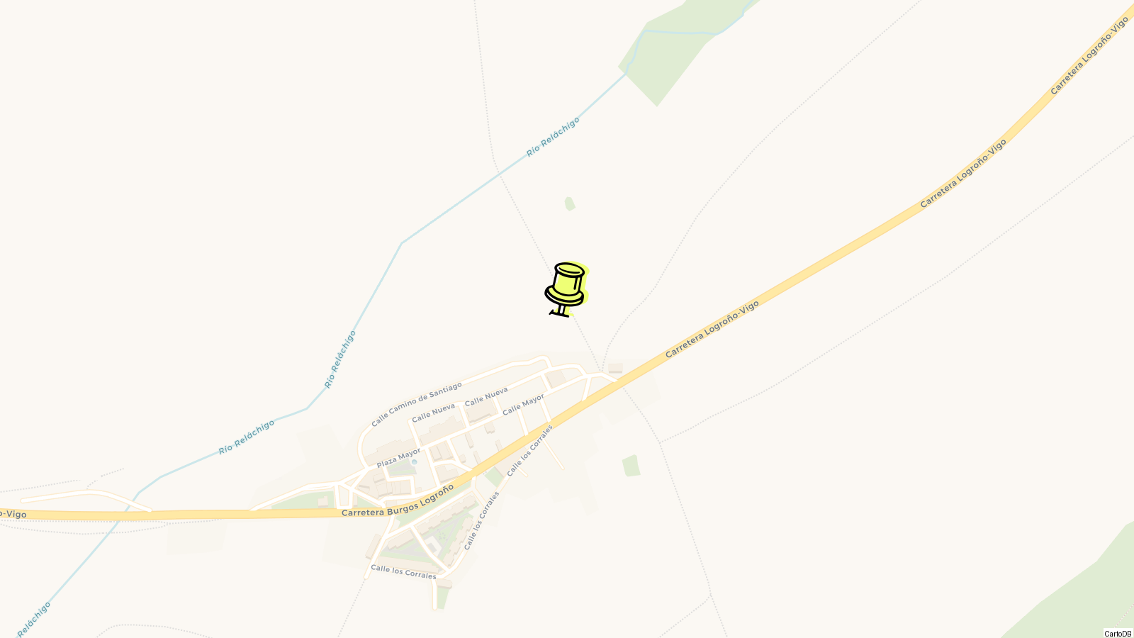
The village stands at 741 m on the northern side of the Sierra de la Demanda, at the point where the Rioja plain runs out, and its 12.1 km2 of woodland and farmland sit in the Montes de Oca comarca. Burgos is 69 km away by road. Everything is arranged along a single axis: houses, church, pilgrim hostel and a stone jurisdictional column, which the town hall calls a textbook piece of Jacobean urbanism.
Nothing here needs booking and nothing has a ticket desk. Twenty minutes covers the font, the length of the street and a refilled water bottle, and the walk continues west towards Belorado. Stay a night and you sleep in the direct descendant of a medieval pilgrims’ hospital.
History
From Ayago to Radicella
The oldest document covering this ground is dated 15 March 863, when the cartulary of San Millán de la Cogolla lists the deanery of San Andrés de Faiago with its vineyards, pastures, woods and apple trees. That is the first written reference to Ayago, the hills the village still faces. In 945 Count Fernán González of Castile granted San Millán the monastery of San Martín, between Redecilla and Grañón. In 977 San Millán returned the villa of Radicella to the monastery of San Miguel de Pedroso, the first appearance of the settlement under a recognisable version of its name.
The town hall dates documentary proof of the village to around 968. The earliest unambiguous mention comes in 1025, in a cartulary entry naming the strata, the paved road, that ran from Redecilla to San Martín.
Roads dominate the early record here, which tells you what the place was for. The same cartulary names a road at Estabillo in 991, along which García Pérez and his wife founded a hostel beside the pilgrim route and later gave it to San Millán; Alfonso VIII granted it exemptions in 1189. A road from Villazahel to Grañón appears in 955, one from Oca to Cerezo in 1007, a cart road at Grañón in 1032. Before the Roman road over the Puerto de la Brújula lost its status as the official way to Santiago, tracks already linked La Rioja to the Meseta through Grañón, Redecilla, Belorado, the Montes de Oca and Atapuerca.
The Codex Calixtinus and the road builders
The Codex Calixtinus, the first pilgrim’s guide to the route and the work of the French cleric Aymeric Picaud, names Redecilla among the most important towns on the Camino. Its “Radicella” is the village on the ground today, street plan included.
Santo Domingo de la Calzada, born in Viloria de Rioja on 12 May 1019 and dead at ninety in 1109, rebuilt the road between Nájera and Redecilla. He pulled the route south of the old Roman line, through the town that took his name, and fixed the course walkers still follow into the Montes de Oca.
After the Ancien Régime
When the old order collapsed, Redecilla became a constitutional municipality in the district of Belorado with 296 inhabitants. Pascual Madoz’s geographical dictionary of 1849 counted 65 houses, one of which served as both town hall and gaol, a school taking 80 pupils of both sexes, the parish church of Santa María de la Calle, and three hermitages: San Nicolás, San Roque and Nuestra Señora de Ayago.
In 2015 UNESCO approved the extension of the listing to “Routes of Santiago de Compostela: Camino Francés and Routes of Northern Spain”. The retrospective inventory of associated components that Spain submitted lists Redecilla del Camino at number 1225.
Visiting
Ten minutes covers the village end to end. Begin at the rollo, the stone jurisdictional column that marks the start of Calle Real and the pilgrim line of the street.
The church of the Virgen de la Calle was rebuilt in the 17th and 18th centuries and keeps a set of rococo altarpieces and furnishings, but the font is what people come for. It is built in three pieces: a hemispherical bowl 110 cm across, a fasciculated shaft, and a circular base now half sunk into the floor. Total height is 106 cm.
The bowl is carved with no blank surface left anywhere on it, and the whole design is architecture. Windows pierce the stone in four tiers, separated by thin beaded bands worked in rope, plait, zigzag and lozenge patterns; some windows are square, some round-arched, and the top row is a line of oculi. Eight semicircular turrets in high relief run down the outside, lining up with the eight half-columns of the shaft below. Between them sit eight machicolated balconies under sharp triangular roofs, each finished with a ball. The reading is a fortified city, taken to be either the Heavenly Jerusalem or Santiago de Compostela itself.
The font has left the village twice for the Edades del Hombre exhibitions, restored for the Ponferrada edition and shown again at Aguilar de Campoo.
The municipal refuge stands at the entrance to the village on Calle Mayor, beside the church, and it is the direct heir of the old Hospital de San Lázaro. It has 50 places, five toilets, four hot showers, a kitchen pilgrims can use, meals for those who want them, a washing machine, a drying line and internet access. Payment is by donation and it opens all year.
Beyond that there is one hotel with a bar and restaurant attached, and the road west. Belorado, the next place with a full range of services, is 12 km on.
Tips
-
Carry a rain layer even in August. The climate is mild but humid and close to Atlantic, which makes it feel colder at 741 m than the thermometer reads.
-
Time a visit for the weekend after 16 August and you get the San Roque and Virgen de Ayago celebrations: twelve dancers, and the cachiburrio, who recites verses from memory at five fixed points on the climb to the hermitage.
-
Saturday of that weekend is the romería, carrying the Virgin up to her hermitage with singing and dancing. Sunday is the saint’s procession through the village, the dancers in a second set of shawls and shoes.
-
Book nothing, but know the bed count. The municipal albergue’s 50 donation places are supplemented by two private hostels holding 14 between them.
-
Health, schooling, pharmacy and refuse are run at comarca level across 14 villages, so anything the surgery cannot handle means a trip out.
-
Coming by car rather than on foot, the approach is 69 km from Burgos, and the whole visit fits inside the comarcal Camino and Oca and Tirón valleys route, a 90 km loop through the eastern Burgos pilgrim towns.
Know this destination? Help us improve
Your local experience is valuable to other travelers.