Archaeological - natural site of Santomé
Archaeological site

Visit details
Overview
No car needed, Santomé sits just 3 km outside Ourense, on a rocky ledge over the Loña River. You’re out of the city in minutes, but it feels surprisingly wild: a native woodland of oaks and arbutus, with stone ruins poking through the greenery. Walk the main path and you’ll spot distinct traces of both cultures, an Iron Age castro and a Romanised villa fused together in the forest.
The woodland is classic Galician “monte baixo”: holm and cork oaks, pines, arbutus trees. The site’s rocky setting, with rivers carving ‘giant kettles’ below, offered good defence for ancient dwellers. Orientation panels point out the view back to modern Ourense, not a bad spot for sunset.
There are few places this close to Ourense where you can walk through both a castreño-era hillfort (mid‑1st century BC to 2nd century AD) and Gallaecian‑Roman rural house foundations at the same stop. Local authorities treat it as both archaeological and natural heritage, no stuffy museum, just forest and stone.
You’ll find markers all along the circuit explaining castreño and Roman artefacts. The Provincial Archaeological Museum of Ourense handles most Santomé finds, over 200 pieces from ceramics to coins trace daily life from the castro period up to the 5th century AD.
Don’t expect a UNESCO badge, Santomé isn’t on the global list, but it draws visitors looking for that castro‑meets‑Rome overlap without the crowds. Entry’s free, you self-guide with the help of panels and QR audio; optional guided tours start from around €20 per person for small groups.
About two hours gives you the main loop: the ruins, woodland paths, the riverside outlook. For anything deeper, swing by the Museo Arqueológico Provincial de Ourense before or after, many of the site’s finds live there year-round.
History
Iron Age beginnings and the castro
People chose this rocky perch above the Loña River for its defensibility in the mid‑1st century BC. The first settlement was a castro: a hillfort typical of the local Gallaecian tribes, built in the last phase of their independence as Roman influence crept in. From the start, this wasn’t your generic stone roundhouse cluster. The river below formed a natural moat, and what survives, terraces, foundations, traces of defensive walls, shows a place built for longevity.
“Castro” comes from Latin and simply means fort or stronghold, but in Galicia, these settlements reached a cultural complexity recognisable today. The Santomé castro’s design betrays a tribe braced for confrontation and influence. Indigenous Gallaecians, living in fortified villages across Galicia, saw the Romans push up from Braga and Astorga. Santomé stood between those two axes. Archaeologists date Santomé’s castro from roughly 50 BC through the 2nd century AD, so this site lived through the full arc of Roman conquest, annexation, and cultural assimilation. Daily life would have mixed farming, weaving, metalworking and rituals handed down for generations, until Rome’s persistent pressure broke the old ways.
The Gallaecian–Roman transition
By the middle of the 1st century AD, the castro population was shifting. Rome was here to stay. At Santomé, you see this in the architecture: rectangular rooms start replacing circular huts, a Romanesque layout emerges, and imported objects, pottery, brooches, coins, creep into the household mix. Excavations revealed both native and Italo-Roman habits layered in the same footprint. Roman Ourense thrived on its thermal springs just downriver, so this outpost would’ve had active ties to urbanising trends as Roman roads and new crops appeared.
The castro life trailed off around the mid‑2nd century AD, a typical pattern as the traditional hillforts all over Galicia lost their reason for being. Rome’s military and export demands hollowed out the need for local microdefences. In the Santomé area, occupation seems to have persisted through a process of hybrid living, not total take‑over. Archaeologists have uncovered fragments indicating the presence of both local ceramic types and imported tableware; personal objects such as brooches (fibulae), coins, and even surgical tools have surfaced, suggesting a settlement that didn’t simply “Romanise” overnight.
Villa life and late antique persistence
When most castros were fading, Santomé re‑invents itself as a rural villa. You’ll spot the rectangular stone walls and fragments of what may have been gardened courtyards or small workshops. This “Romanisation” wasn’t just a style: Ourense was a crossroads for food, trade, and movement between cities, and the site’s cooler slopes became both strategic and productive. Activity at Santomé stretches through to the 5th century AD, with some objects now displayed in the Museo Arqueológico Provincial de Ourense offering snapshots of life and craftwork from the late empire.
Santomé’s “villa” wasn’t an imperial stately home: think working estate, not palace. The finds cover household ceramics, coins, textiles, agricultural tools, and various small implements. Some artifacts, like medical instruments, hint at above-average prosperity or travel, since these weren’t common in every countryside posting. The late antique period in Galicia blended continuity with anxiety; the Roman order was weakening, and rural villas like this buffered the transition into a more fragmented, localised world that would eventually shape medieval Galicia.
Rediscovery and the modern era
For most of the next fifteen centuries, Santomé faded into the forest. Shepherds and woodcutters knew it, but archaeology as a science didn’t arrive until late in the 20th century. The main push to study, protect, and explain the site started only in the 2000s, as local archaeologists pushed for both research and public access. Today you walk raised paths and read signage that openly discusses the site’s dual Celtic and Roman character; local schools sometimes use Santomé as an outdoor lesson in coexistence.
By the early 21st century, efforts at Santomé weren’t only about digging. Protection, display, and teaching all played a role. Self‑guided loops and panels let visitors piece together how castro morphs into villa, and how the woodland helped preserve traces unknown in more ploughed-over corners of Galicia. Much of this interpretative material (brochures, panels, and even multimedia) was developed by the Museo Arqueológico Provincial de Ourense, in partnership with local authorities. The core archaeological artefacts, more than 200 items, are housed at the museum on Rúa Padre Feijóo in Ourense.
Visiting
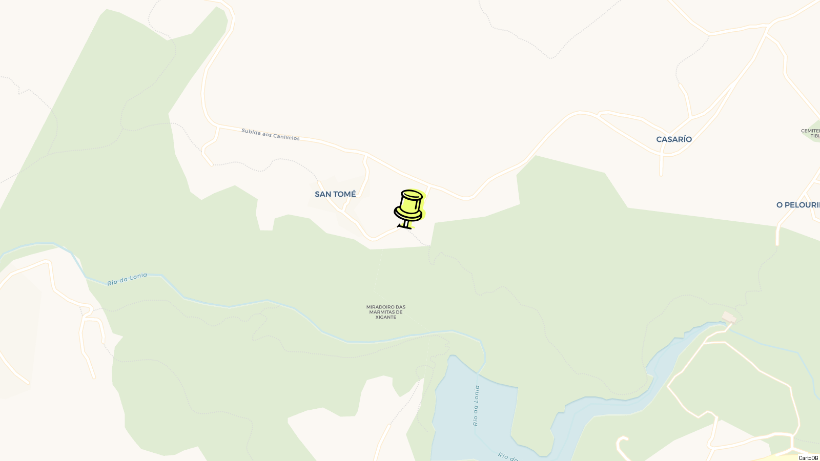
No ticket kiosk or gate; visiting Santomé is completely free and self-guided, with no need to book ahead. The entrance sits about 3 km outside Ourense, at latitude 42.347465 and longitude ‑7.83014, and you’ll know you’ve arrived when the urban clutter gives way to woodland. There’s a car park at the edge of the site. If you’re on foot, the approach uses a narrow, stone-paved track, reportedly medieval, winding through native forest.
Marked trails are straightforward; anyone with reasonable mobility will manage them, though wet weather can make sections slippery. There’s no strict route. Most people start with the remains of the castro above the river, looping via the later Roman house foundations, then circle back through the oak and arbutus woods. Give yourself two hours to do any justice to the place.
Woodland surrounds everything, centuries-old oaks and arbutus dominate, with their shade cutting even summer temperatures. The main route passes regular interpretive panels in both Spanish and Galician, explaining what’s left of the Gallaecian‑Roman buildings and the role of the Loña River’s “giant kettles” (deep circular pools carved in stone).
Interpretation signage was added after 2000, part of a push to open Santomé beyond professional archaeologists. QR codes on some panels now link to audio guides. For visual learners, there are printed brochures and a PDF you can download ahead of time from the official site (museos.xunta.gal). The written info is decent: layout sketches, old excavation photos, and explanations of Celtic vs Roman design features.
The paths aren’t lit, and there are no staff on regular patrol, so plan your walk for daylight hours only. Sunset is particularly good for photos facing back over the Miño valley, but don’t linger so long you end up fumbling out by phone torch.
Guided tours are optional and only worth paying for if you want archaeological nuance: local operators sometimes run sessions for about €20 per person (with group discounts), but unless you have a real castro obsession, you’ll get 90% of the value from the signboards.
Organised groups or student trips may see discounts, but public drop-in tours are rare, best to call ahead on +34 988 366 064 for info. The “guided” experience typically means a history MA student covers the basics and you ask questions as you walk. For pure atmosphere, skip the guide and go at your own pace.
Tips
- Paths are rough in parts, with stone and dirt underfoot for most of the way. Sturdy trainers or boots make the walk comfortable for the full circuit.
Surfaces alternate between old stone-paved tracks, possibly medieval, and earth, especially when heading down to the riverside or the lower villa area. After rain, the paths can get slippery with exposed rocks and roots. No sections are paved for wheelchairs or prams, and there’s no lighting after dusk.
- Bring water and a sun cap, especially in late spring and summer. There are no shops, fountains, or shaded picnic tables in the core of the site.
You exit the city limits almost immediately, and once on site there are no facilities, no vending machines or kiosks. The Mediterranean-tendency woodland gives some tree cover, but clearings get very hot by midday, and Ourense’s summer days have topped 44 °C in recent years. If you want to picnic, carry supplies and all rubbish out with you.
- The best light for photos is just before sunset, when the site’s ledges catch the sun and you’ll get good angles over the valley. Mornings are quieter, but full sun can flatten details.
The west-facing outcrop overlooks the Miño valley and the city. For panoramic shots, look for the giant “kettles” (bedrock pothole formations) above the Loña River, especially in late afternoon when contrasts pop. There’s little crowds, just day-trippers and weekend walkers. If you want people-free ruins, avoid Sunday midday when locals walk their dogs.
- The interpretive signage is detailed, and most panels have English and Spanish. No official guide app, but QR codes on some signs link to multimedia content curated by the Museo Arqueológico Provincial de Ourense.
About 200 objects from Santomé’s excavations are in the Museo Arqueológico Provincial de Ourense itself. If you’re interested in context or artefacts tied to what you see onsite, combine your walk with a stop at the museum in the city’s old quarter, its displays run from the castro world through to the 5th century AD.
- Leave pets at home or keep them on a short lead. The woodland is a protected biodiversity refuge, and wildlife (small mammals, reptiles, nesting birds) can be startled by dogs roaming off-path.
Know this destination? Help us improve
Your local experience is valuable to other travelers.