Cape Finisterre
Cape and lighthouse at the medieval edge of the known world

Overview
Cape Finisterre is a granite headland on the western Atlantic coast of Galicia, the southern bookend of the Costa da Morte in the province of A Coruña. The Romans called it finis terrae, end of the earth, and for centuries that’s exactly what people in this corner of Europe thought it was.
The cape itself is the seaward tip of a peninsula that ends in Monte Facho, a 238-metre rock topped by a working lighthouse. The town of Fisterra (Galician spelling) sits on the sheltered eastern side of the peninsula, about 90 km west of Santiago de Compostela. Most visitors come for one of three reasons: they’re walking the Way of Saint James and have decided to keep going past Santiago, they’re driving the Costa da Morte coast, or they want to watch the sun drop into the Atlantic from the rocks below the lighthouse.
It’s worth saying upfront that Finisterre is not, strictly speaking, the westernmost point of mainland Spain. That title belongs to Cabo Touriñán, a smaller headland about 20 km north in the municipality of Muxía. The “end of the earth” is a cultural and historical claim, not a geographic one. That hasn’t stopped Finisterre being the more famous of the two.
What you actually do here is straightforward. Drive or walk up to the lighthouse, look west, walk down to one of the beaches, eat seafood in the harbour. The visit takes a few hours, half a day if you’re unhurried, longer if you sleep over to catch the sunset.
Visiting
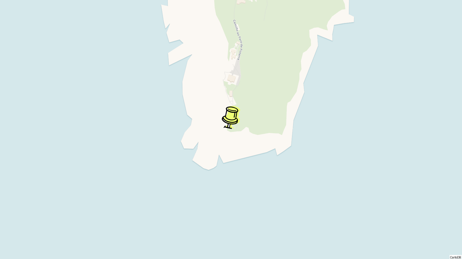
A visit to Cape Finisterre splits into three parts: the town of Fisterra, the road up to the lighthouse, and the cape itself. The whole peninsula is small enough that you can do all three in a few hours if you’re driving, longer on foot.
Start in Fisterra town. The harbour is the working core, with fishing boats unloading in the morning and a row of seafood places along the front. The Church of Santa María das Areas sits on the eastern edge of town, late 12th-century in origin with later Gothic and Baroque modifications, and houses the Sacred Christ image that medieval pilgrims came to see. A few hundred metres further on, the small Castle of San Carlos overlooks the bay; it now houses a fishing museum.
If you walked the Camino Finisterre and want your Fisterrana certificate, the pilgrim office is in town, near the harbour. You’ll need your credential stamped along the route from Santiago. The certificate is issued in Latin like the Compostela, and it’s distinct from the Muxiana, the equivalent issued for the route to Muxía, 30 km north. Many pilgrims do both: Santiago to Fisterra, then Fisterra to Muxía, or the other way round. The two endings have separate 0 km markers and separate certificates.
From the town, a single road runs roughly 3 km south-west out to the lighthouse on Monte Facho. You can drive it in five minutes, walk it in 45. The walk is the better option if the weather is on your side. There’s a parking area at the top, an interpretation centre in the old keeper’s house, and a small bar.
The lighthouse itself, a granite octagonal tower built in 1853, is closed to the public above the ground floor. What you do is walk past it, down the rocks toward the sea. There are paths cut into the granite leading to several viewpoints. The 0.0 km marker, the worn waymarker that ends the Camino, is just below the lighthouse on the seaward side.
The peninsula has six named beaches, all worth a look depending on what you’re after. Langosteira, on the sheltered side closest to the town, is the long sandy one suitable for swimming. Mar de Fóra, on the Atlantic side, is wilder, beautiful, and has dangerous rip currents that have killed swimmers. Don’t swim there. O Rostro, Arnela, Ribeira, and Corveiro are smaller and harder to reach on foot.
Mar de Fóra is the most photographed of the Finisterre beaches and the one that gets the worst-prepared visitors. It faces the open Atlantic with no shelter, the surf is heavy, and the rip currents are strong. There are no lifeguards. Local signage warns against swimming. If you want a beach day with actual swimming, walk the 20 minutes from town centre out to Langosteira instead. It’s a 2 km arc of sand on the eastern bay, sheltered by the peninsula, with calm water and the lighthouse visible in the distance to the south.
Plan on roughly half a day to do town, lighthouse and a beach properly. A full day if you stay for sunset. Two days if you’ve walked from Santiago and need a rest.
History
The cape’s recorded history starts before Rome. Archaeological evidence from Monte Facho shows occupation around 1000 BCE by the Celtic Nerians and Artabri, who treated the headland as sacred ground. Classical sources refer to an Ara Solis, an altar to the sun, said to have stood near the present lighthouse, where pre-Roman peoples watched the sun sink into the ocean.
The Ara Solis is one of those facts that everyone repeats but nobody can dig up. No archaeological remains of the altar have ever been found. The descriptions, a domed structure on four columns with sun-symbols carved into the stone, come from later classical and medieval sources reproducing earlier traditions. What archaeology does confirm is sustained habitation on Monte Facho for roughly three thousand years, and Roman-era roads and structures whose foundations are still visible on the slope below the lighthouse. When the legend of Saint James’s body washing ashore in Galicia took root in the 9th century, Christian pilgrimage absorbed the older sun-rite. Pilgrims walking the last 90 km past Santiago were following a tradition that was layered, not invented.
The Romans took the place at face value. Finis terrae meant end of the earth, and for a culture that mapped its world east to west across the Mediterranean, the Atlantic coast of Galicia was the geographic full stop. Roman roads ran out to the cape, and Pliny the Elder mentions the Artabrian coast in his geography.
The Middle Ages brought the Camino. The Church of Santa María das Areas in Fisterra dates to the late 12th century and houses the Holy Christ image that pilgrims came to venerate after reaching Santiago. A pilgrim hospital was built in 1479 to handle the traffic of those continuing west.
The Castle of San Carlos, on the harbour at Fisterra, was built during the reign of Charles III in the late 18th century to defend the coast. The lighthouse on Monte Facho came later, in 1853, when Spain industrialised its Atlantic coast warning system after a long century of shipwrecks gave the wider coastline its grim Galician name, the Costa da Morte.
The 1853 lighthouse is a granite octagonal tower 17 metres tall, attached to the keeper’s house, with a focal plane 143 metres above sea level and a range of 23 nautical miles. It is still active, operated by the A Coruña port authority, and flashes white every five seconds. The keeper’s quarters now house an interpretation centre and a small hotel. The Vaqueiro foghorn beside the lighthouse, locally called the cow because of its low bellow, was added in the early 20th century to warn ships during the Atlantic fogs that close down visibility for weeks at a time.
The 20th century turned Finisterre back into a destination, this time for walkers. The Camino Finisterre, the 90 km extension from Santiago, was formally signposted as part of the Way of Saint James in the late 1990s. The town now issues its own pilgrim certificate, the Fisterrana, to anyone who walks the route.
Tips
-
Sleep over for sunset. The cape is 90 km west of Santiago by road and the last bus back leaves before sundown most of the year. If you want to see the sun drop into the Atlantic, book a room in Fisterra town. Day-trippers from Santiago miss the only thing the cape is famous for.
-
Don’t swim at Mar de Fóra. The Atlantic-side beach has heavy surf and strong rip currents. Locals avoid it for swimming. Use Langosteira on the sheltered eastern side instead, a 20-minute walk from the harbour.
-
Walk up, drive down. The 3 km road from Fisterra town to the lighthouse climbs steadily. Walking up gives you the views and the gradient you’ve earned; getting a lift back means you don’t have to do it twice.
-
The 0.0 km marker is below the lighthouse, not at it. The worn granite Camino waymarker that pilgrims photograph is on the seaward side, a short scramble down from the lighthouse car park. Easy to miss if you don’t know to look.
-
Don’t burn your boots. The shoe-burning ritual is a 21st-century invention and is now banned by the Fisterra council; the area is high fire risk in summer and the practice was damaging the rocks. The town’s signs make this explicit. Photograph your boots instead.
-
Bring layers, even in August. Atlantic fog rolls in fast on the cape and the wind never quite stops. Daytime temperatures in summer hover around 22 to 24 °C, but the rocks at the lighthouse can feel ten degrees colder when the fog hits.
-
The lighthouse interior is closed. The tower itself is a working aid to navigation operated by the A Coruña port authority and not open above the ground floor. The keeper’s house has a free interpretation centre and a small hotel.
-
Eat in the harbour, not at the lighthouse. The bar at the cape exists for the view, not the food. Fisterra harbour has the working seafood restaurants. Order percebes (gooseneck barnacles) if they’re on the day’s catch; this is one of the few places in Spain where they’re cheaper than they are in Madrid.
-
Two endings, two certificates. If you’ve walked the Camino Finisterre, claim your Fisterrana at the town pilgrim office. If you continue 30 km north to Muxía, you can also claim the Muxiana there. Doing both is the proper completist’s option.
Nearby
Cape Finisterre is the southern anchor of the Costa da Morte, and almost everything worth seeing nearby is on that coast or just inland from it. A car helps; bus connections along the Costa da Morte exist but are slow and infrequent.
Muxía sits roughly 30 km north along the coast, the other endpoint of the Camino Finisterre and the home of the Santuario da Virxe da Barca, a sea-battered sanctuary on the rocks that gives the town its identity. Pilgrims walking from Santiago often do both Finisterre and Muxía, either as a triangle from Santiago or as a continuation, with the two towns linked by a 30 km waymarked stretch.
Cabo Touriñán, between Finisterre and Muxía, is the actual westernmost point of mainland Spain and has its own modest lighthouse, dating from 1898. Worth a detour on the drive between the two towns. About 45 minutes from Fisterra by car.
Santiago de Compostela is 90 km east on the AC-552 and AG-56, roughly 75 minutes by car or 2.5 hours by direct bus. Even if you’ve already been, the Cathedral of Santiago de Compostela is the natural pairing for a Finisterre visit.
A Coruña is 108 km north-east, around 90 minutes by car, and has the Tower of Hercules, the working Roman lighthouse that is Cape Finisterre’s older and stranger cousin further up the same Atlantic coast.
For walkers, the most natural extension is the Camino itself: north to Muxía, or back east toward Santiago, broken into stages of about 20 to 30 km each.
Know this destination? Help us improve
Your local experience is valuable to other travelers.